الواسم الجغرافي
الفئات: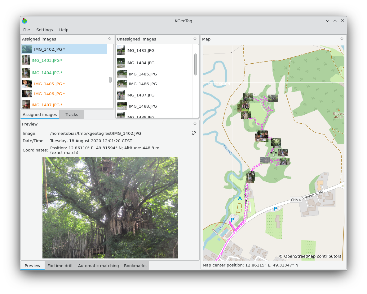
الواسم الجغرافي هو برنامج مستقل لوضع العلامات الجغرافية. يمكن ربط الصور بالإحداثيات الجغرافية بطرق مختلفة: من ناحية، يمكن إجراء مطابقة مع البيانات الجغرافية المشفرة بواسطة GPX، ومن ناحية أخرى، يمكن تعيين الإحداثيات يدويًا، إما عن طريق السحب والإفلات على الخريطة، أو عن طريق الإشارات المرجعية، أو عن طريق إدخالها يدويًا. يمكن تخزين الإحداثيات في رأس Exif للصور و/أو في ملفات XMP sidecar.

ثبت على
لينكس

الإصدارات RSS
2.0.0
2026-03-13
1.8.0
2025-03-09
1.7.0
2024-12-07
1.6.0
2024-10-03
1.5.0
2024-01-02
1.4.0
2023-01-28
1.3.1
2022-09-05
1.2.0
2021-11-12
1.1.0
2021-10-19
1.0.0
2021-03-06