KGeoTag
Categories: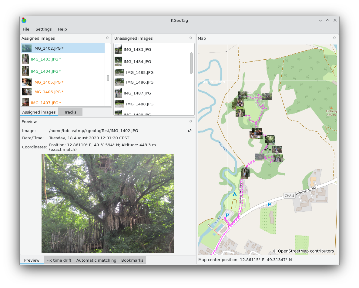
KGeoTag is a standalone geotagging program. Images can be associated with geographic coordinates by different means: On the one hand, a matching with GPX encoded geodata can be done, on the other hand, the coordinates can be set manually, either via drag and drop onto a map, via bookmarks or by manually supplying them. The coordinates can be stored in the images' Exif header and/or in XMP sidecar files.

Telepítés
Linuxon

Kiadások RSS
2.0.0
2026-03-13
1.8.0
2025-03-09
1.7.0
2024-12-07
1.6.0
2024-10-03
1.5.0
2024-01-02
1.4.0
2023-01-28
1.3.1
2022-09-05
1.2.0
2021-11-12
1.1.0
2021-10-19
1.0.0
2021-03-06